

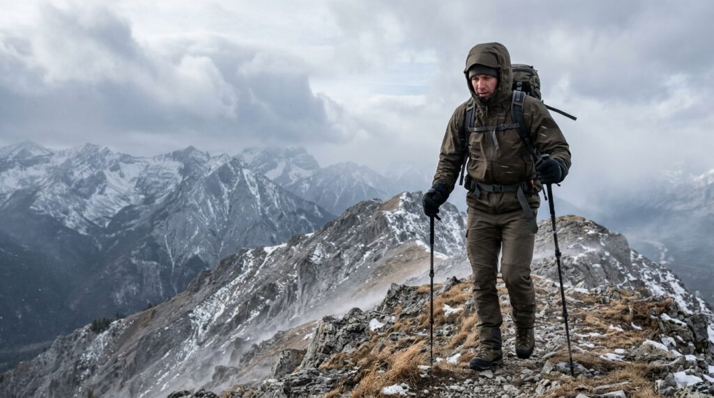
: On exposed mountain ridges, weather conditions diverge dramatically from valley trailheads due to two physical mechanisms: elevation lapse rate (ambient temperature drops by 3.5°F per 1,000 feet of ascent) and the Bernoulli venturi effect (wind speeds accelerate 1.5x to 2.5x across cols, saddles, and ridge crests). The National Weather Service (NWS) calculates apparent cold using the 2001 Wind Chill Temperature Index (Wind Chill (°F) = 35.74 + 0.6215*T – 35.75*(V^0.16) + 0.4275*T*(V^0.16)) and apparent heat using the Rothfusz Heat Index regression. At a wind chill of -18°F to -31°F, frostbite on exposed skin occurs in under 30 minutes; below -32°F, onset drops to under 10 minutes. In hot conditions, direct alpine solar radiation adds +15°F to the apparent heat index, sharply accelerating exertional heat stroke risks above 104°F.
Interactive Mountain Hazard Calculator
Use the dual-mode tool below to calculate your true apparent temperature, frostbite onset time, heat illness risk tier, and ridge-adjusted conditions before crossing treeline.
Wind Chill & Heat Index Outdoor Hazard Calculator
Official NOAA / National Weather Service formulas calibrated for exposed mountain ridges, elevation lapse rates, and severe body temperature limits.
Range: -45° to 50°F
°F
Range: 3 to 75 mph
mph
-3.5°F per 1,000 ft lapse rate
ft
°F
25 mph
20°F
Windproof Shell + Mask
Insulate Bottles (No Bladders)
Related Trail Tools & Guides
Calculate summit freezing levels and alpine temperature drops.
Prepare an emergency contact itinerary with turnaround times for mountain routes.
Customize a lightweight medical kit for remote mountain trips.
1. Why Valley Weather Forecasts Deceive Mountain Hikers
The single most common cause of weather-related search and rescue (SAR) incidents on mountain trails is forecast displacement: relying on town or valley-floor weather reports to predict conditions on an exposed alpine ridge.
- Air temperature: 55°F (13°C)
- Wind speed: 10 mph (light breeze)
- Comfort: Comfortable in a light fleece or shirt
- Elevation drop: -21°F cooler (-3.5°F per 1,000 ft)
- Ridge air temp: 34°F (1°C)
- Ridge winds: 25 mph across exposed saddles
- Apparent wind chill: 23°F (-5°C)
The takeaway: Never rely solely on town or trailhead forecasts. An easy 6,000-foot climb can turn pleasant afternoon hiking into near-freezing conditions above treeline.
The Physics of Mountain Temperature: The Environmental Lapse Rate
As atmospheric pressure decreases with altitude, rising air expands and cools adiabatically. In outdoor navigation and meteorology, two primary lapse rates apply:
- Dry Adiabatic Lapse Rate (DALR): approx 5.4°F per 1,000 feet (9.8°C per 1,000 m) in dry, unsaturated air.
- Moist / Standard Environmental Lapse Rate (ELR): approx 3.3°F to 3.5°F per 1,000 feet (6.0°C to 6.5°C per 1,000 m) in average trail conditions with ambient moisture.
The Practical Ridge Rule: For every 1,000 feet of vertical elevation you climb from the trailhead, deduct 3.5°F from your starting temperature. If you gain 4,000 ft on an afternoon hike starting at 65°F, your ridge summit will be 51°F before factoring in wind.
The Ridge Venturi Effect (Bernoulli Acceleration)
When prevailing winds encounter a mountain barrier, the air mass is compressed vertically and horizontally as it is forced over passes, saddles, cols, and knife-edge ridges. By Bernoulli’s principle, fluid velocity increases in a constricted passage:
- Valley wind of 10–15 mph routinely accelerates to 25–40 mph across exposed ridgelines.
- Ridges oriented perpendicular to incoming fronts can experience wind speed amplification exceeding 2.5x to 3.0x base readings.
2. Wind Chill & Frostbite Hazard Science
Wind chill is not an arbitrary “feels like” feeling; it is a measure of the rate of convective heat loss from human flesh to the surrounding air. Moving air sweeps away the thin boundary layer of warm, insulating air trapped next to your skin, accelerating cellular cooling.
The 2001 NOAA / NWS Wind Chill Formulation
In 2001, the National Weather Service, Environment Canada, and the Joint Action Group on Temperature Indices (JAG/TI) modernized the Wind Chill Index using clinical human trials, facial skin thermal models, and standardized anemometer heights (33 feet / 10 meters):
Wind Chill (°F) = 35.74 + 0.6215*T – 35.75*(V^0.16) + 0.4275*T*(V^0.16)
Where:
- T = Air temperature in degrees Fahrenheit (°F), valid for T <= 50°F.
- V = Sustained wind speed in miles per hour (mph), valid for V >= 3.0 mph.
- 0.16 = Empirical human skin tissue heat transfer exponent.
(Note: If wind speed is below 3 mph or temperature exceeds 50°F, wind chill is not calculated because convective cooling does not outpace natural thermal radiation).
Frostbite Exposure & Onset Matrix
Frostbite occurs when cellular fluids freeze, forming ice crystals that rupture cell membranes, collapse microvascular blood flow, and cause tissue necrosis. The National Weather Service correlates wind chill values directly with minutes to frostbite on unprotected, exposed skin:
Moisture Multiplier: Wet skin or damp sweat-soaked clothing freezes up to 25 times faster than dry tissue. If you sweat heavily while climbing through the forest and step onto a windblown ridge at -10°F wind chill, frostbite and hypothermia onset times can collapse from hours to minutes.
3. Heat Index & Exertional Heat Illness (EHI) Science
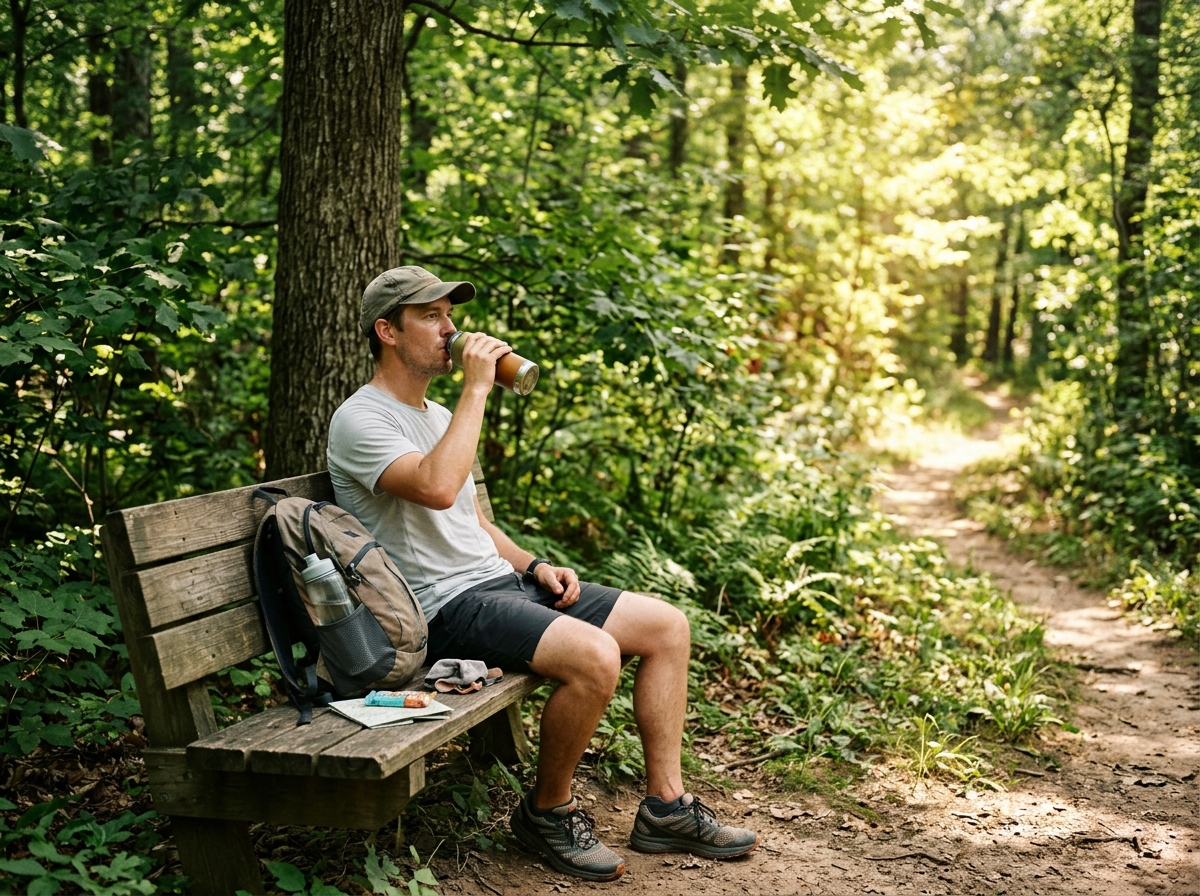
While cold winds steal heat, summer ridges present the inverse threat: evaporative cooling failure. When ambient air temperatures rise and the air becomes saturated with water vapor, the human body cannot dissipate metabolic heat through perspiration.
Uphill hiking generates 400 to 800 calories per hour of internal heat.
Your body sweats so evaporating moisture can carry heat away from your skin.
When humidity exceeds 60%, air is saturated. Sweat drips off without cooling you.
Internal temperature climbs toward 104°F, leading to heat exhaustion or stroke.
- Drink electrolytes: Replace sodium and water regularly, not just plain water.
- Hike in early morning: Start before direct sunlight adds an extra 15°F of apparent warmth.
- Rest in shade: Take breaks every 45 to 60 minutes when temperatures climb above 85°F.
The Rothfusz Heat Index Equation
The National Weather Service implements Lans P. Rothfusz’s multiple regression analysis (NWS Technical Attachment SR 90-23):
HI = -42.379 + 2.04901523 T + 10.14333127 R – 0.22475541 T R – 0.00683783 T^2 – 0.05481717 R^2 + 0.00122874 T^2 R + 0.00085282 T R^2 – 0.00000199 T^2 R^2
Where T is temperature in °F (T >= 80°F) and R is relative humidity in percent (R >= 40%).
For borderline conditions, the NWS applies low-humidity adjustments (subtracting cooling margins in arid high-desert air) and high-humidity penalties.
The Alpine Solar Surcharge (+15°F)
NWS Heat Index tables assume light wind and full shade. On an alpine ridge or exposed granite traverse, two critical environmental multipliers amplify heat stress:
- Direct Solar Radiation: At high elevations, the thinner atmosphere filters less UV and solar radiation. High-angle sunlight adds +10°F to +15°F (5.5°C to 8.3°C) to apparent thermal strain.
- Rock Albedo & Thermal Mass: Granite talus and dark scree absorb solar energy during the morning and radiate infrared heat upward directly onto hikers, creating an oven-like microclimate.
The 4 Stages of Exertional Heat Illness
Exercise-Associated Hyponatremia (EAH): Do not consume excessive volumes of pure water without sodium in hot weather. Forced drinking (> 1.0 to 1.5 liters/hour) dilutes blood sodium levels, leading to brain swelling, confusion, seizures, and death. Drink to thirst and pair fluids with sodium/electrolyte tablets.
4. Exposed Ridge Decision Framework: The Treeline Gate
Mountain guides use the Treeline Gate Protocol to decide whether to push across an open ridge or turn back. Once you ascend above the shelter of the subalpine forest, you lose windbreaks, shade, and natural emergency shelter.
If wind chill drops below -18°F (frostbite in under 30 minutes) or heat index exceeds 103°F, turn around immediately.
If you do not have a windproof outer shell, warm gloves, or head cover, do not proceed onto exposed ridges.
Only continue if you can drop below treeline or return to shelter within 45 minutes if weather deteriorates.
- Check ridge conditions before leaving treeline shelter.
- Put on wind layers before you start shivering.
- Turn back early if winds exceed your ability to walk steadily.
The 3 Turnaround Red Flags
- Lenticular Cloud Formations: Smooth, lens-shaped clouds capping peaks indicate jet-stream winds shearing over mountain crests. Ground winds on ridges below lenticular clouds regularly exceed 60–80 mph.
- Numbness in Extremities (Paresthesia): If fingers or facial patches lose sensation (waxy, white, or wooden feeling), you have reached early frostnip. Descend immediately; never attempt to “tough it out.”
- Cessation of Sweating or Sudden Chills in Heat: If you feel goosebumps or stop perspiring while hiking uphill in 85°F+ heat, your thermoregulatory system is failing. Stop immediately in shade.
5. Mountain Weather Gear & Layering Matrix
6. Frequently Asked Questions
How does wind chill differ from actual air temperature?
Wind chill is not an actual temperature drop measured on a thermometer; it is a calculation of how rapidly your body loses heat in moving air. While wind chill cannot freeze water if the air temperature is 33°F, it accelerates the rate at which your skin cools toward ambient temperatures, causing frostbite and hypothermia in a fraction of the time.
At what wind chill does frostbite occur on exposed skin?
According to the National Weather Service, frostbite risk becomes critical when wind chill drops to -18°F (-28°C). Between -18°F and -31°F, frostbite can develop on exposed facial skin, ears, or fingers in 30 minutes. At wind chills between -32°F and -47°F, frostbite onset accelerates to 10 minutes or less.
Why do water bladder hoses freeze so fast on mountain hikes?
Hydration pack hoses carry a small volume of stationary water encased in uninsulated plastic. When exposed to mountain wind, the convective heat transfer freezes the water inside the tube and bite valve in as little as 10 to 15 minutes, even when ambient temperatures are only slightly below freezing. Always carry insulated, wide-mouth bottles inside your pack during sub-freezing hikes.
Does high altitude make hot weather more dangerous?
Yes. Every 1,000 feet of elevation gain increases UV solar radiation intensity by approximately 4% due to thinner atmospheric filtering. In exposed alpine terrain with reflective granite or snow, radiant heat loading adds 10°F to 15°F to the effective heat index, while low air density accelerates respiratory dehydration.
Can you get hypothermia in 50°F weather?
Yes. The vast majority of wilderness hypothermia cases occur between 30°F and 50°F (0°C to 10°C). When clothing becomes wet from rain or sweat, and wind strips your boundary layer, your body loses heat up to 25 times faster than in still, dry air, overwhelming your basal metabolic rate.
How much water should I drink per hour when hiking in extreme heat?
Hikers should target 0.5 to 1.0 liters (16 to 32 fluid ounces) per hour during hot weather, consumed in frequent small sips rather than gulping. Drinking more than 1.5 liters per hour exceeds human kidney excretion rates and can cause Exercise-Associated Hyponatremia (EAH). Always consume electrolytes (sodium, potassium, magnesium) alongside water on long climbs.
7. Governance, Medical Disclaimers & Methodology (R2 Safety Jurisdiction)
- Formula Provenance: Wind Chill calculations strictly implement the 2001 NOAA/NWS Joint Action Group on Temperature Indices (JAG/TI) standard. Heat Index calculations implement the Lans P. Rothfusz 1990 regression formula with operational low/high humidity corrections.
- Safety Classification: This tool operates under Risk Class R2 (Outdoor Safety & Physiological Influence). It provides modeled environmental estimations for backcountry trip planning.
- Medical & Field Disclaimer: This calculator is not a medical device or a clinical triage tool. Individual susceptibility to cold and heat injuries varies widely based on age, hydration, body composition, cardiovascular fitness, exhaustion, and preexisting medical conditions. Always monitor active National Weather Service forecasts, consult local park rangers, and carry the Ten Essentials on every mountain outing.